Bérard
Kommunikation, Wissensproduktion und Kartographie
ISBN 978-3-8288-4542-8
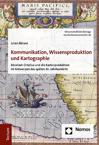
englischThe production of commercial maps in the renaissance can only be explained through the complex interaction of diverse unrelated factors. This can be illustrated based on the maps created by Abraham Ortelius (*1527 †1598). The structure of early modern commercial networks affected the flow of and the access to the information he needed to produce these maps significantly. Technical and economic possibilities –and constraints– determined the framework in which he operated. Methodological and cognitive processes shaped the design of his maps and came into play when selecting their content. Those maps were a product of both scholarly and artisanal endeavors. They were also an expression of a widespread humanistic philosophy.
Die Produktion von kommerziellen Karten in der Renaissance kann nur unter Betrachtung eines komplexen Zusammenspiels unterschiedlicher Faktoren erklärt werden. Anhand der Karten von Abraham Ortelius (*1527 †1598) lässt sich dies exemplarisch verdeutlichen. Die Struktur von Handelsnetzwerken beeinflusste maßgeblich den Fluss der Informationen, die er benötigte. Technische und ökonomische Möglichkeiten setzten den Rahmen für den Erfolg seiner Kartierungsprojekte. Methodologische und kognitive Prozesse bestimmten den Inhalt und die Gestaltung seines Werkes. Seine Karten waren demzufolge sowohl Produkte von Gelehrsamkeit als auch von Kunsthandwerk – und zugleich Ausdruck eines verbreiteten humanistischen Weltbilds.

